
Construction Drone Services
Our construction drone services deliver high-resolution photography, aerial mapping, and real-time progress tracking. We help construction companies save time, reduce costs, and improve safety with precise visual data that ground-based inspections simply can’t match.
Our Construction Drone Services
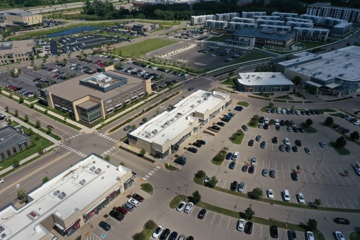
We capture construction sites from above—safely, quickly, and with high detail. That includes aerial photography, site mapping, inspections, and other data. You get accurate visuals that support planning, reporting, and decision-making. In our work, we use professional drones with high resolution and advanced software for data processing. We serve construction projects of all types and sizes.
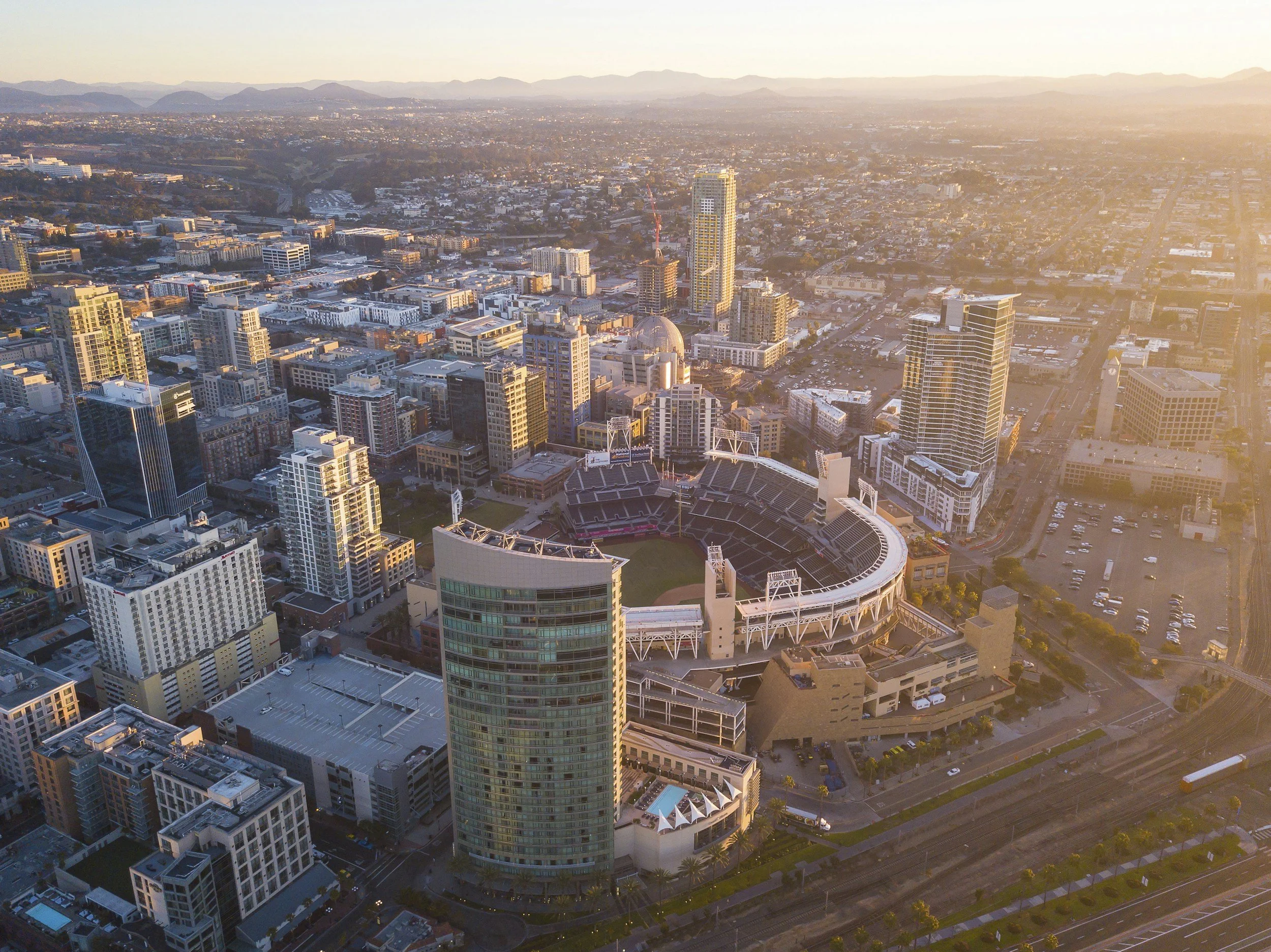
Aerial Photography and Video
Aerial Photography and Video that delivers stunning high-resolution overhead shots of your entire job site. From documenting progress to highlighting key phases of work, our drone services give you a clear, accurate view from above, helping you stay on track and showcase results with confidence.
All over the state of California and beyond, we can survey any project or site to ensure that current conditions match official records. Our team leverages advanced drone technology to create precise digital reports of solar panels, streamline construction management, and produce powerful drone video and photo reports for construction progress.
With every flight, we bring clarity, accuracy, and efficiency to your projects—saving you time, reducing risk, and keeping your team aligned.

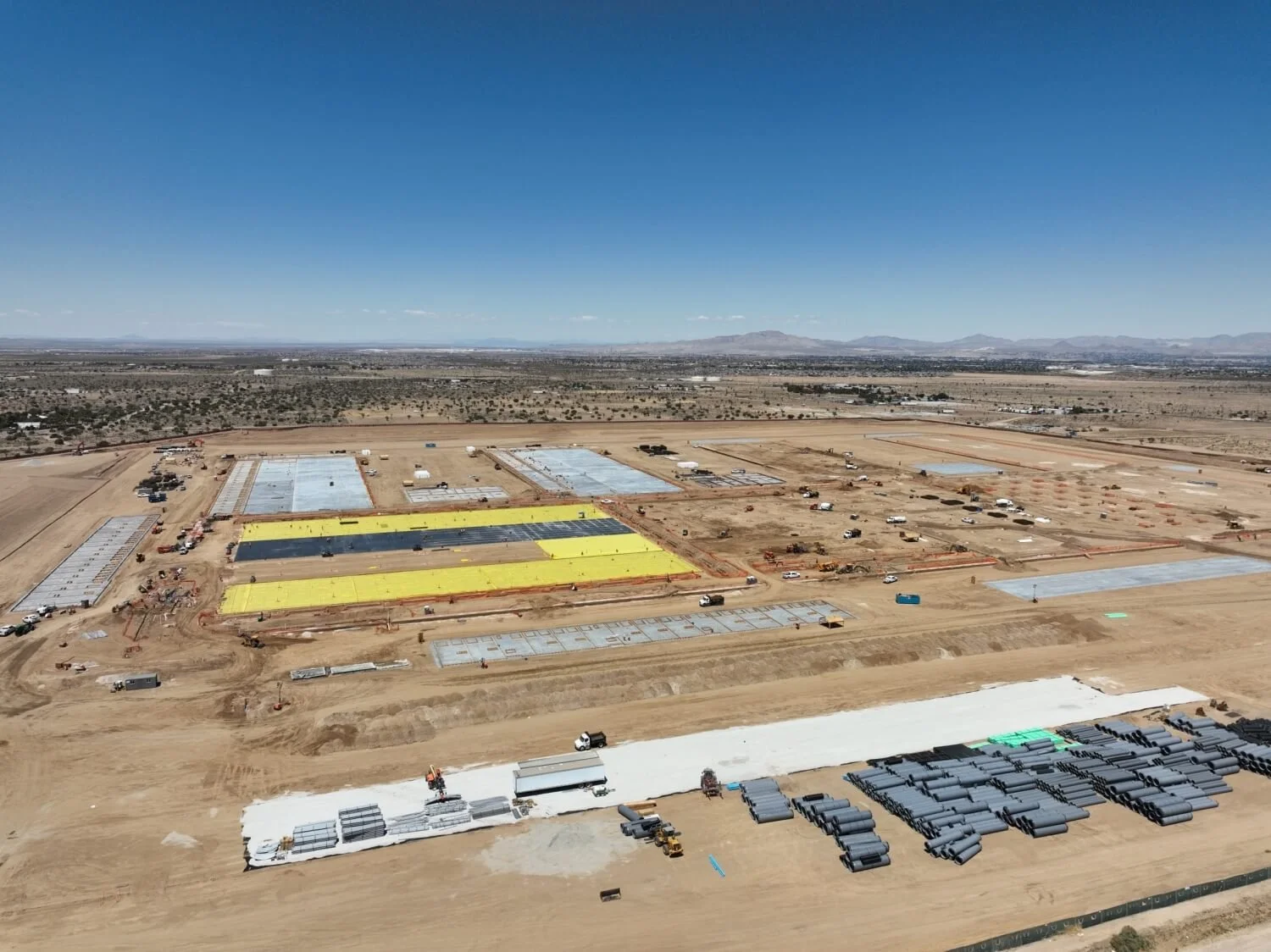
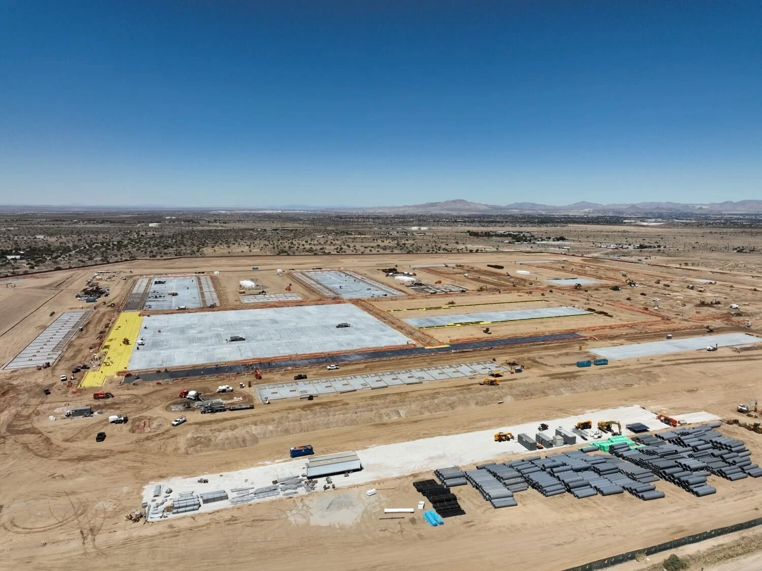
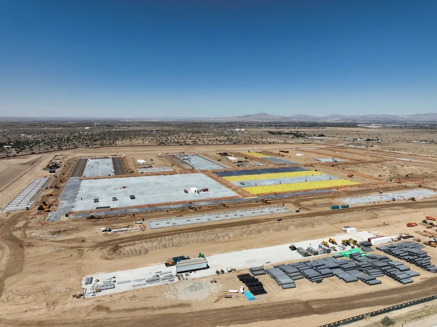
Construction Progress Monitoring
We can arrange periodic drone flights to document your site, creating a clear visual timeline of how your project is moving forward.
We deliver our drone inspections dated and organized format, so you can track the progress of your construction with detailed aerial imagery and video. From the very beginning to the end of a project, you’ll have access to real-time data that helps you make informed decisions, saving time, reducing risk, and keeping your entire team aligned.

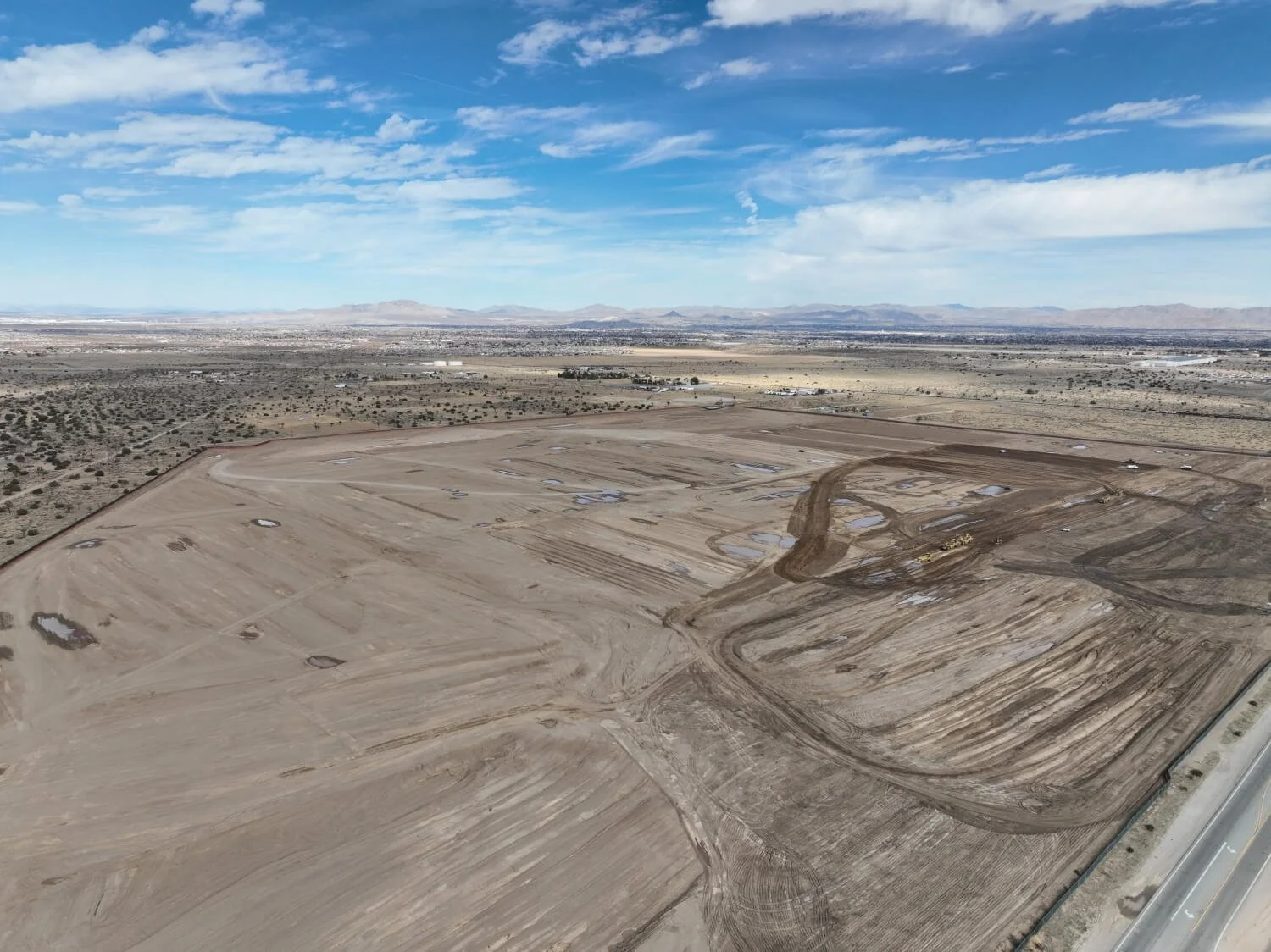
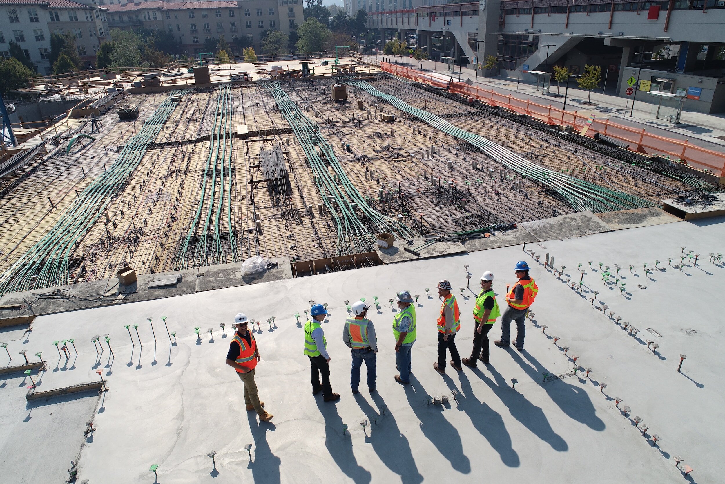
Pre-Construction Documentation
Before breaking ground, we capture a full record of existing site conditions, creating a reliable visual baseline that helps resolve future disputes or change orders.
Our advanced unmanned aircraft systems make it easy for project managers and contractors to avoid time-consuming manual inspections while collecting accurate pre-construction data. With this technology, you can identify issues quickly, track progress of site preparation, and streamline workflows—ultimately improving communication between all stakeholders from day one.


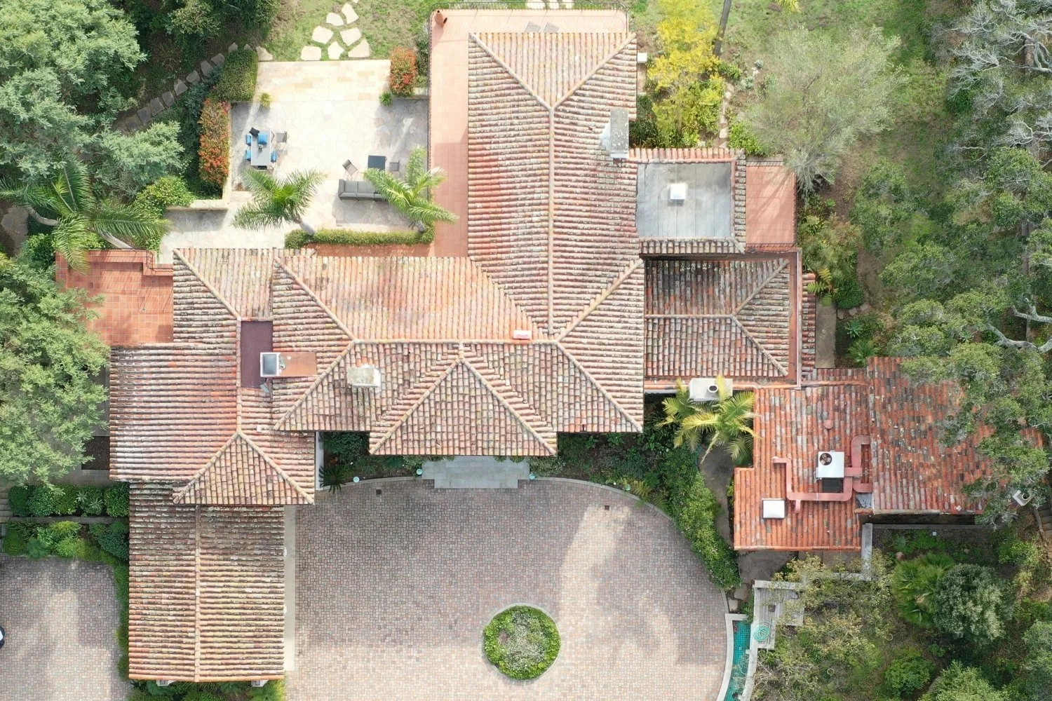
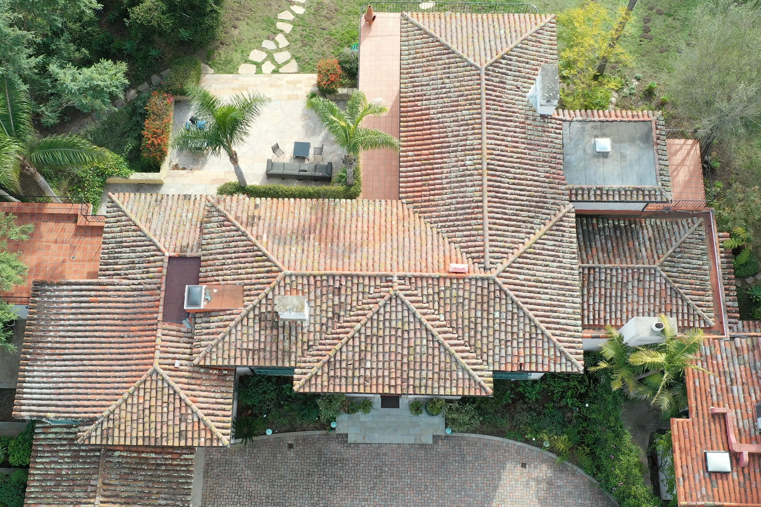
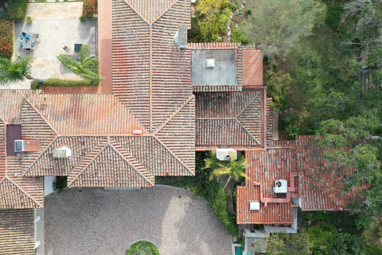
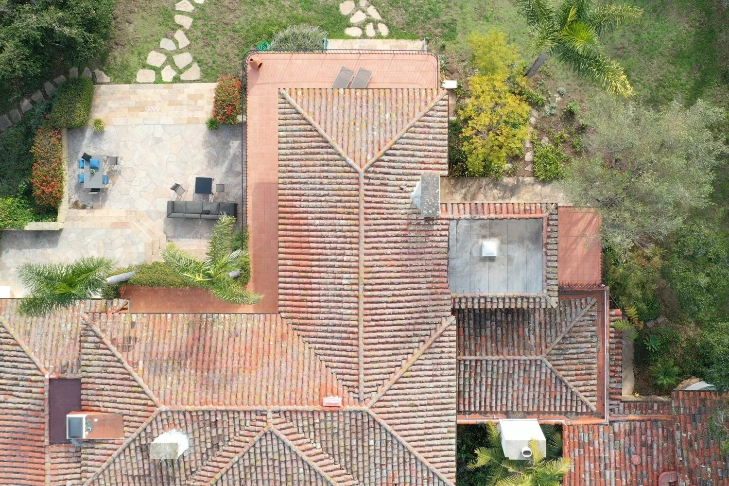
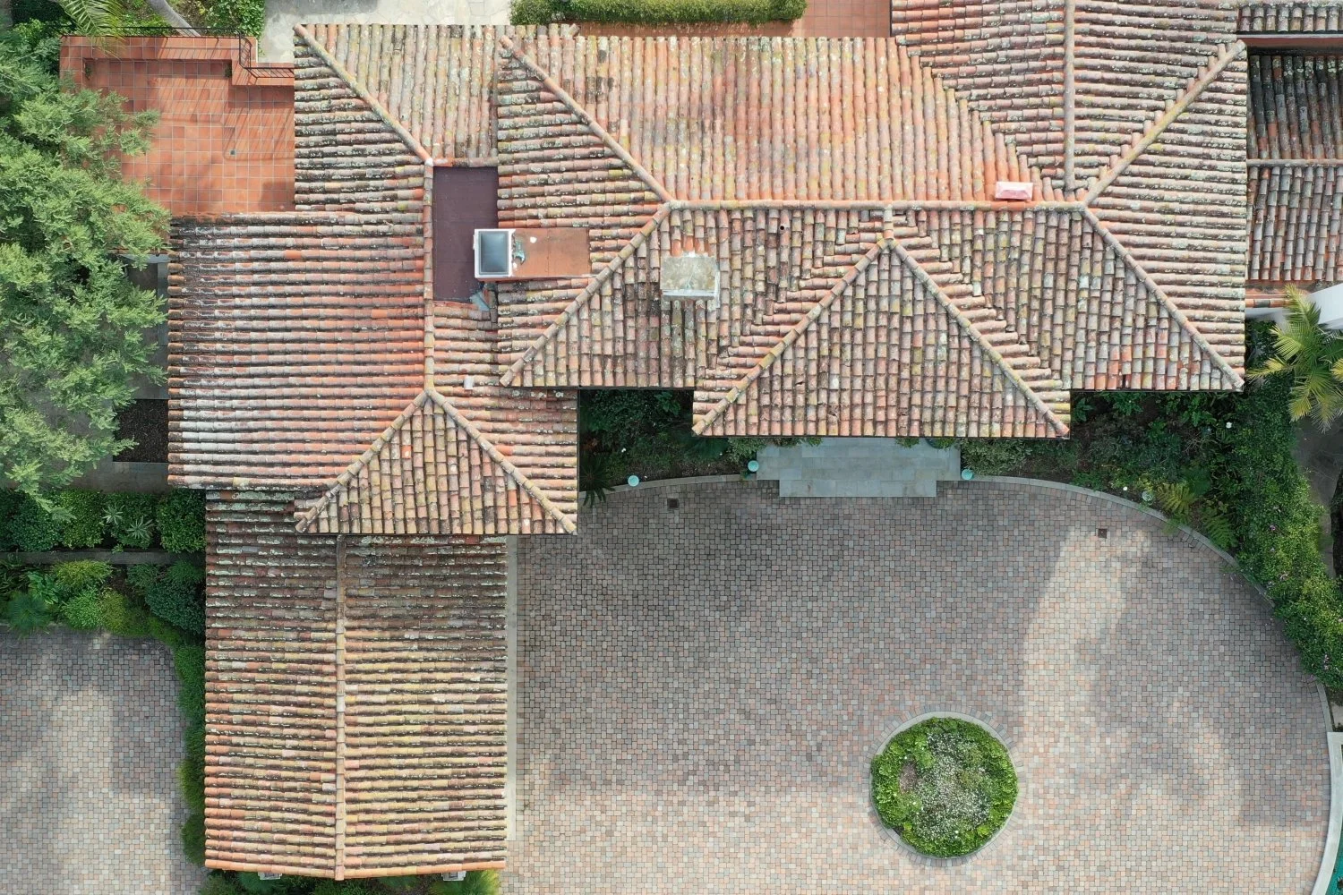
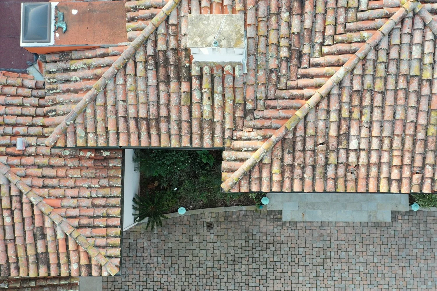
Drone Roof Inspection Services
Get detailed imagery of high or hard-to-reach surfaces, without lifts, scaffolding, or putting crews at risk. Our drone inspections are safer, faster, and more precise than traditional methods. We use drones for advanced data collection from an aerial perspective, allowing us to analyze the condition of roofing materials with clarity that’s often overlooked. Beyond drones for construction, this service is also valuable in real estate, helping sellers and buyers make smarter decisions. Roof conditions can easily slip under the radar, but taking this small extra step is extremely cost-effective in the long run, preventing costly surprises and adding confidence to every project or transaction.
Tracking Equipment and Measuring Volume
Want to know exactly where your machines are and how much material has been moved? We deliver reliable aerial data to track assets and measure site volumes with unmatched speed and accuracy.
Alongside surveying and mapping, our photography and videography services are widely used to inspect and record construction activity, whether it’s material movement, equipment usage, or demolition progress. From above, drones can capture wide, high-resolution images that provide more comprehensive survey information than ground methods. Today, UAVs are commonly used for tracking and material measuring, giving project teams actionable insights that save time, reduce costs, and keep operations efficient.
In addition to our commercial drone solutions, we offer a full range of VDC services to help you complete your project with confidence. By combining as-built documentation and site plans with high-resolution images and videos from UAVs, you gain comprehensive data that provides lasting value, information you can rely on for decades.
What You’ll Receive from Our Work
High-Resolution Aerial Photography. You’ll get clear, sharp aerial images of your site, taken from multiple angles and altitudes.
Record of photos and video capturing your project from all angles.
Comparison data, topographical maps, project monitoring reports for future reference, and so much more.

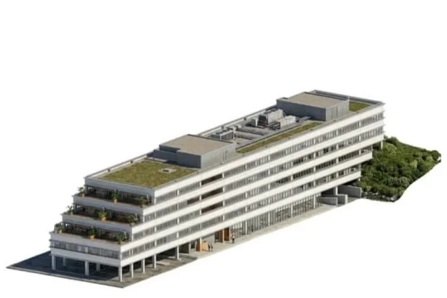
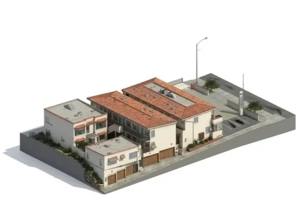
Our Nationwide Drone Services cover:
-
Residential
-
Commercial
-
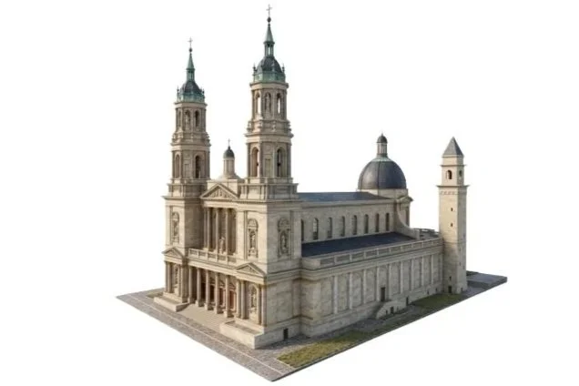
Historical
-
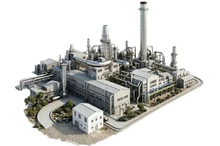
Industrial
-
Healthcare
-
Hospitality
How the price is formed?
We know every project is unique. That’s why our cost estimates are built around these key factors:
Our Work Process
Project Discussion. You share your needs and provide site details.
Planning. We set the date, review the site, build the UAV flight plan, and lock in the final cost.
Flight and Data Collection. On the scheduled day, our pilot arrives to perform the aerial shoot or inspection.
Processing. We process the data and prepare deliverables for you.
Delivery. You receive the finished files in your chosen format.
Our Clients


Local Aerial Drone Services
-
![Beverly Hills]()
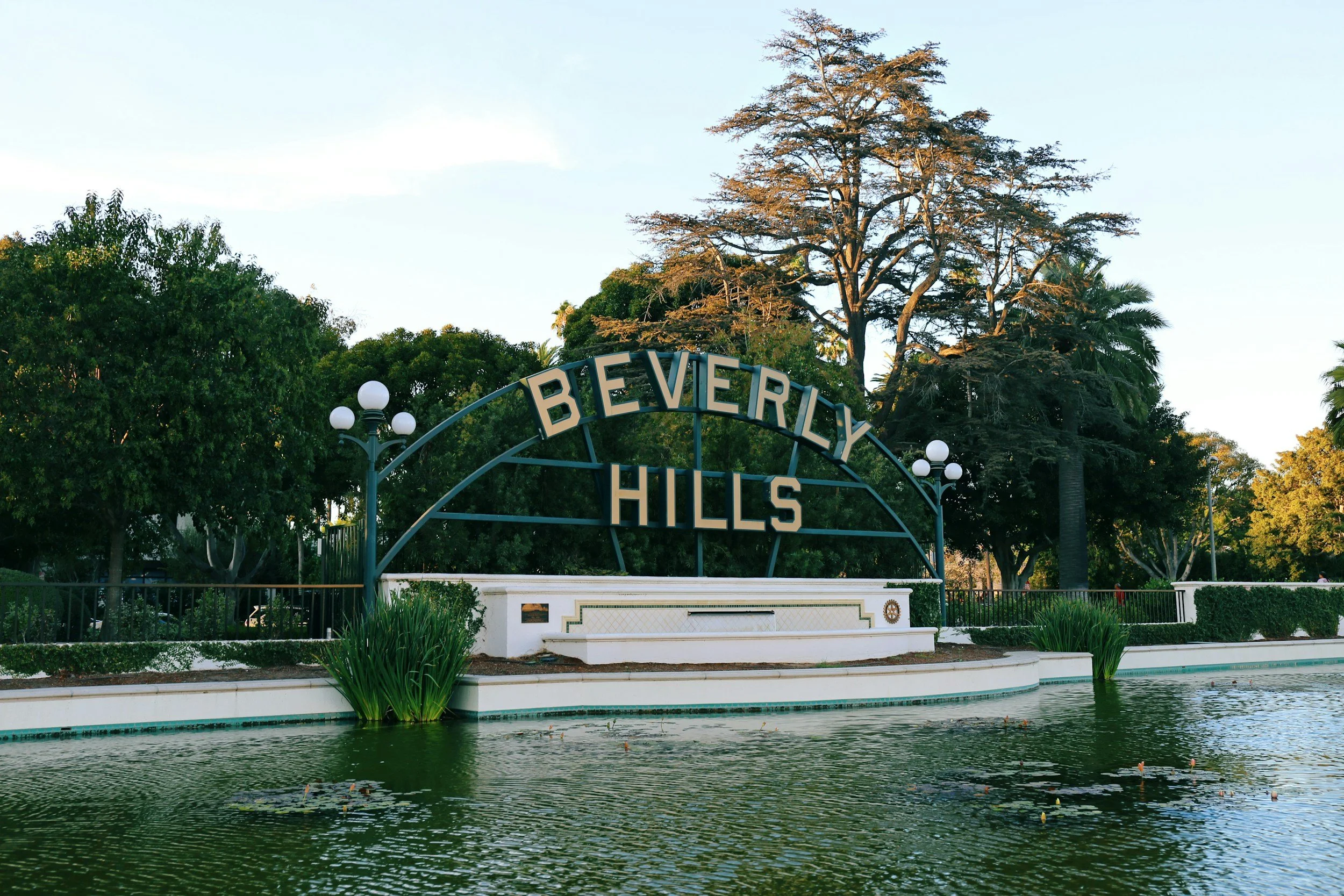
Beverly Hills
-
![Glendale]()
Glendale
-
![]()
Laguna Beach
-
![Long Beach]()
Long Beach
-
![Los Angeles]()
Los Angeles
-
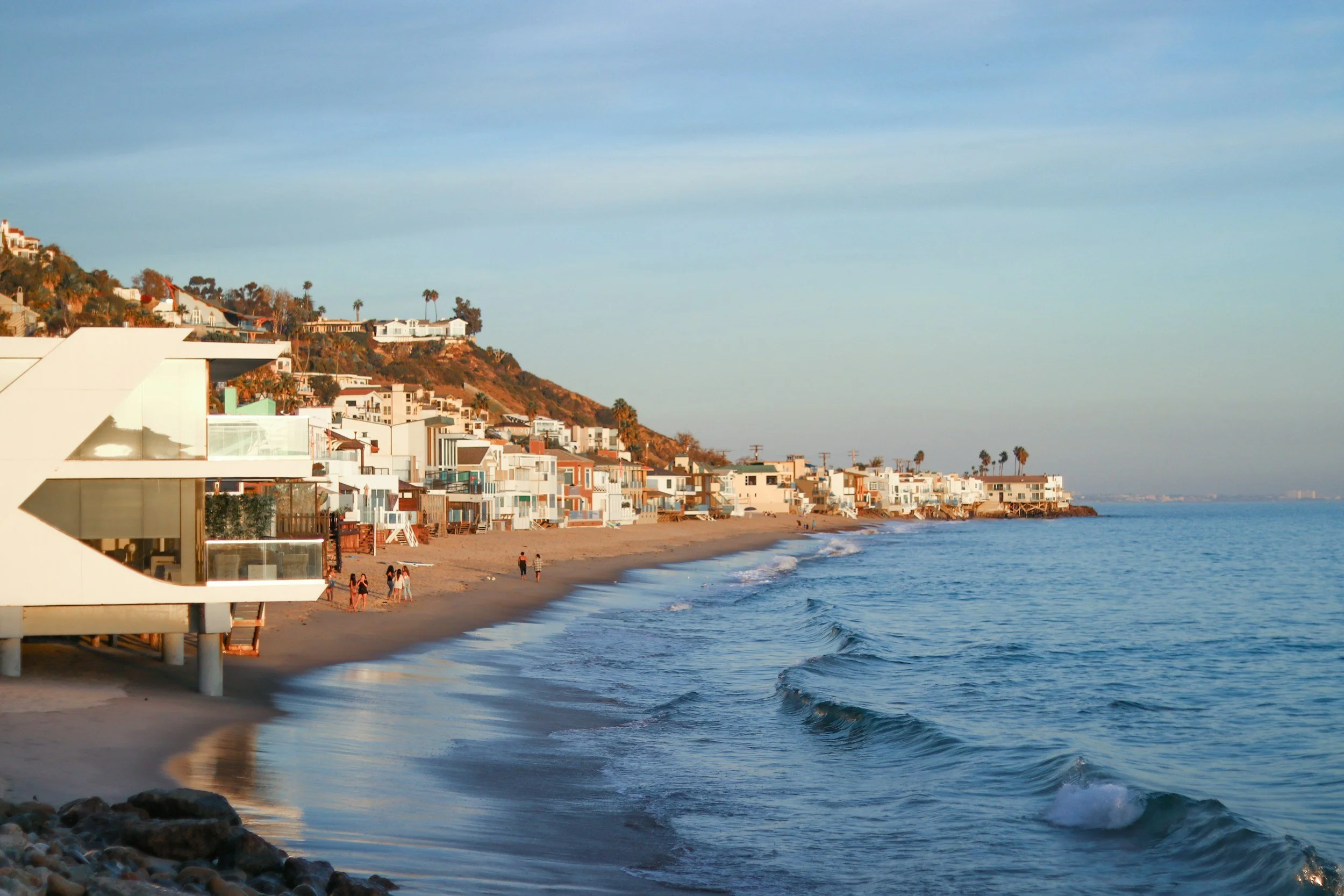
![Malibu]()
Malibu
-
![Orange]()
Orange
-
![Pasadena]()
Pasadena
-
![San Diego]()
San Diego
-
![Santa Barbara]()
Santa Barbara
-
![Santa Clarita]()
Santa Clarita
-
![Ventura]()
Ventura


Benefits of working with us

Licensed Operators
We fly legally and safely. All our drone pilots are FAA-certified and fully insured. You don’t need to worry about permits, airspace rules, or liability—we’ve got it covered.

Fast Turnaround
We deliver files quickly: photos, maps, models, all in formats your team can actually use for planning, reports, or inspections.

Clear Communication
We keep communication simple, fast, and consistent—before, during, and after every job.
FAQs
-
Most of the time, we deliver within 48 hours, depending on what’s needed. Aerial photos come fast. More detailed outputs like maps or 3D models may take a little longer. If you’re on a tight timeline, let us know, and we’ll work with it.
-
Absolutely. We’ve flown in all kinds of conditions: tight urban spaces, large infrastructure zones, and near heavy equipment. We coordinate with your site crew to make sure flights happen safely and without disrupting the workflow. We do have to consider aviation conditions near airports, and sometimes request a permit for such flights.
-
It happens. We stay flexible and keep you in the loop. If conditions aren’t safe, such as wind, rain, or poor visibility, we’ll reschedule as a priority.
-
Not necessarily. We’ll coordinate all the details with you in advance. If access is open and safe, there is no need for supervision or assistance.
-
Yes. Our licensed drone operators follow FAA rules and regulations.
Choose Alterpex, where accuracy, timelines, and communication are at the core of our commitment to your project’s success.
Related Services


Contact us
info@alterpex.com
(415) 696-4180
MAIN OFFICE
27200 Tourney Rd, Suite 410
Santa Clarita, CA 91355
LOS ANGELES METROPOLITAN
1180 South Beverly Drive
Los Angeles, CA 90035
SAN FRANCISCO BAY AREA
50 California St, Suite 1500
San Francisco, CA 94111
Contact us to streamline your construction process with our Drone Services for construction
We Provide Professional Services Nationwide
Home > Drone Services > Construction Drone Services